Showing posts with label Mt. Evans State Wildlife Management Area. Show all posts

Thursday, May 31, 2012

The Fortnight That Was - 5/13 - 5/26/2012 and the Hardest Run Ever

(Started this post days ago...finally getting around to posting it.) Two weeks of running, both literally and figuratively...some mountains, some beaches and some not at all.


All-in-all, it's been a good couple of weeks. I missed a few days here and there, but have managed to get in some good runs between the chaos that is our lives.

Week 5/13-5/19 - the highlights:

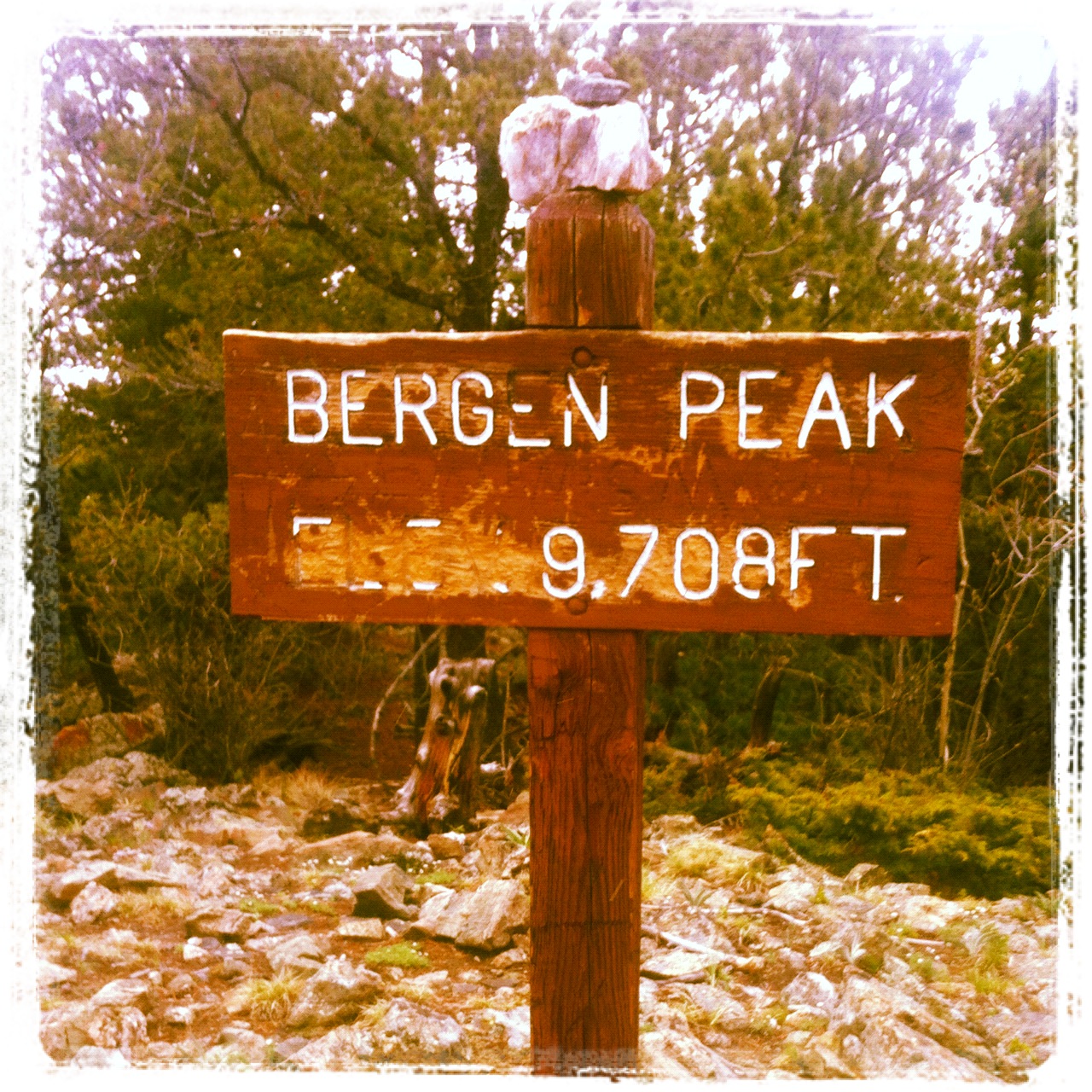
Sunday - Bergen Peak - 15 miles; 2:45; 2,783 feet o' elevation gain: Ran from home to the summit of Bergen Peak, then dropped off the backside into the Bergen Peak State Wildlife Management Area tract and found a great trail that descends down into the Echo Hills subdivision. Did some exploring trying to find a new way into the adjacent Denver Mountain Park tracts that lay between the subdivision and Squaw Pass Road. Ended up traipsing through some private property and then bushwhacking down a ridiculously steep and thickly-wooded hillside before finding a fire road on a DMP tract. Added some miles via the roads in Soda Creek.


Tuesday - Marshall Mesa - 16 miles; 2:15; 969 feet o' elevation gain:  Early morning spin around the    Dirty Bismark loop. Beautiful morning on these wide-open trails. Saw and heard WAY more meadowlarks than I saw people.

Thursday - Colorado Trail - 8 miles; 1:25; 1,271 feet o' elevation gain:  CP was doing a class camping trip on some private land just below Kenosha Pass. We were jumping on a red-eye later this evening bound for Florida, so I headed over in the early evening to the campsite to pick her up.  Along the way, I stopped at the parking area on the south side of Kenosha Pass for a quick out-and-back on the Colorado Trail. Legs were flat and not happy with the run, but the scenery more than made up for it. Turns out, the property where the kids were camping was about half a mile below the spot where this picture was taken. You had to cross the CO Trail on a two-track to get to the spot. Such a cool location!

The Colorado Trail below Kenosha Pass.
Week 5/20-5/16 - the highlights:

Sunday:  Palm Beach - 16.68 miles; 2:23 - We flew all morning on Friday (1 a.m. - 6:30 a.m.) to Ft. Lauderdale on Spirit Airlines so we could join family in marking JP's grandmother's 95th birthday party. Spirit Airlines managed to lose my luggage, which didn't arrive in Florida until Saturday at 3 p.m.  So, Friday and Saturday were forced days off.  With running gear now in hand, I got up early Sunday for a jaunt around the tony enclave of Palm Beach. I started at our Fairfield Inn hotel located on Palm Beach just over the Intercoastal Waterway from Lake Worth and headed north. Most of the main road along the beach from our hotel to the Breakers Hotel was closed due to sewer replacement, which meant I had long stretches of beach-side pavement all to myself...well, just me and several hundred very, very expensive houses. Ran to downtown Palm Beach, over the Intercoastal to West Palm Beach, turned around and ran back. Got pretty darn hot and humid over the last 4-5 miles.

Palm Beach sunrise.

An aptly named road in West Palm Beach
Thursday:  Mt. Falcon Open Space - 13 miles; 2:06; 2,656 feet o' elevation gain:  Way early morning run with Joe Z. and Woody A. around this open space park in Morrison. Solid effort throughout the run, including 3+ miles of quality downhill to finish things off. We were done by 7:15 a.m. By 3 p.m., I was ready for a nap. That 4:15 a.m. wake-up hurt.

Saturday: Mt. Evans Wilderness Area - 28 (ish) miles; 9:15; 7K(ish) feet o' elevation gain:  This was a brutal run, done with Joe Z., Todd G. and Troy H. The first 14 miles from Echo Lake on the Captain Mountain Trail and the Lost Creek Trail were great. However, once we got onto the Cub Creek Trail, things turned ugly fast.

Joe Z. cruising down the Captain Mountain Trail in the early morning light.
Just a little ways up the Cub Creek Trail we hit a bunch of downed trees. No problem. Downed trees in the spring are part of trail running.  The winter always brings down a few big ones.

Just a few trees on the climb up the Cub Creek Trail...no problem.
The day's plan, for me, was to be out for 4-5 hours.  We ended up being out for 9:15. We spent a good four hours climbing over, under and through a massive evergreen blowdown. Turns out there must have been one hell of a windstorm/microburst on the east side of Mt. Evans this winter. The scale of the destruction was pretty incredible. And, the result is virtually impenetrable. Down trees were 4-10 feet high, covering the trail and making movement painfully slow. The only time we got 4-5 consistent steps was when we were walking on a down tree trunk five feet from the ground. It's amazing we got out of that mess without any injuries worse than our shredded legs.

Todd G. surveying the damage.  
The power of the wind had to have been tremendous.
Note:  Despite using terms like "massive" and "scale of destruction," let me be more direct. Do NOT venture into the Cub Creek Trail area.  It's simply not worth it.  This is not a log-hopping problem. This is crawling and climbing through branches, over big, full, downed trees and dealing with extreme route-finding. You can't follow the trails. We ended up just bushwhacking from one drainage to another trying to make our way over to an old burned area to the north, which we knew was where the trail back to Echo Lake ran. This was a TOUGH day.

After bushwhacking and emerging into a nice, trail-less meadow, Todd, Troy and Joe try and figure out where we are.
"I think we're in this drainage. Now, if we just climb over this ridge..."
Of course we eventually made our way out of the blowdown and back to the cars. Everyone was quick to check in with families to let them know we were safe.

Post-run. Ouch. Let the healing begin.
Toward the end of the "run," I definitely was having those "why the hell am I doing this?" thoughts.  When I got home, I told JP I needed to give some serious thought to whether the time/training was worth it.  A day later, of course, those thoughts are long gone and the desire to run is right back where it should be, for now.

The banishment of the negative thoughts was hastened by a really fun five-mile hike the next day up Chief Mountain with CP and our two dogs, Cisco and Maya.

CP on the summit of Chief Mountain. 
Bristlecone snag on  Chief Mountain.
Nothing like sharing the trails with an 11-year-old to bring some perspective.  Onwards!!


Friday, January 1, 2010

Friday, January 1, 2010 - Upper Bear Creek Road

Time: 2:27
Distance: 17.8 miles
Effort: Easy
Body: Fair
Weather: Sunny and cool


If ever there was a testament to the motivational value of running partners it was this morning's run. When the alarm went off at 5:40 a.m. this morning, I happily would have rolled over and went back to sleep were it not for a commitment I made to meet Steve G. for another jaunt up Upper Bear Creek Road.


With a peanut butter sandwich and a tall glass of chocolate milk and 4.5 hours of sleep under my belt, I ambled over to the Evergreen Lakehouse and met Steve just before 7 a.m.  On the agenda was an 18-mile run up Upper Bear to the gate at the Mt. Evans State Wildlife Management Area. We were joined by Andrew A., whom I learned is -- in addition to being a very impressive runner/triathlete -- a very selective connoisseur of only the finest offerings of the World Wide Web. A rare trait, indeed.


We ran the out part of the out-and-back at an easy pace, hitting the turn-around at 8.77 miles in 1:16. We did the return a bit faster, chatting the whole way. Average pace was an easy 8:12 with 1,303 feet of total elevation gain.


Legs  were heavy today, with some noticeable soreness over the last three miles or so.  I chalk it up to too-little sleep and a pretty hard run yesterday. Day off tomorrow.


Overall a great day to be out.  Temps hit the 40s around the time we were finishing. A beautiful day, this first day of 2010. Doing this run with Steve and Andrew was a great way to start a new decade.  Thanks, guys!


Later in the day, the family and I returned to the Lakehouse for the annual Polar Bear Plunge, a fundraiser for Drive Smart Evergreen, a local non-profit dedicated to improving the driving habits of mountain area residents. 


We had a great time watching the local color as dozens of bathing suit-wearing, costumed and cross-dressing locals took the plunge. The most inspiring of the plungers was a disabled woman whom was lifted from her wheelchair by friends and family and together they made the leap into the frigid waters (see pic). Too cool.  


Saturday, October 3, 2009

Saturday, October 3 - Upper Bear Creek Road

Run: Saturday, October 3nd - Upper Bear Creek Road
Time: 2:22
Distance: 18.14 miles
Effort: Moderate on way out; hard on way back
Body: Good
Weather: Sunny and cool

Met Steve F., Steve G. and Caroline S. bright and early this morning for an 18-mile run from the Evergreen Lake House to the caretaker house in the Mount Evans State Wildlife Management Area and back. It was brisk at the start and I was under-dressed. Guess I'm a little out of practice in dressing for chilly morning weather.

We set off just after 7 a.m. and ran the 6+ miles up the paved and relatively flat Upper Bear Creek Road. Beautiful views of Mt. Evans and Mt. Rosalie greeted us as we emerged from the canyon into the wide-open meadows around Tallgrass Spa. With the mountain looming before us, I started thinking about running next summer from the lakehouse to the summit of Mt. Evans. I figure this run would be in the 30-35 mile range, with a combination of pavement, dirt roads and trails (through the Mt. Evans Wilderness Area). Epic.

We hung a right on the welcome dirt and gravel of Yankee Creek Road at 6 miles, ran 2 miles up to the turn-off to the Elk Management Area. After a mile of steady climbing, we turned around the the caretaker's house. We gained about 1,000 feet over the first 9 miles. In the first 9 miles, we averaged an 8:30 - 8:45 pace. Steve and Steve had other plans for the return. Both are training for the NYC Marathon, 4 weeks from now. So, a "progression run" was in the offing.

For our return 9 miles, the plan was to get -- you guessed it -- progressively faster. We ran the first 3 miles averaging about 7:15. Their plan was to run the next five miles at around a 6:20 pace. Since this was to be my longest run since...oh...June, I set my sights a little lower. I ran the next five in 6:41, 7:19, 6:57; 6:47 and 6:36. I caught back upto the the Steves (Caroline had turned back a bit earlier.) with about a mile and half to go and we jogged it in together.

It was great getting out early on a Saturday and getting the weekend's long run in early. A full weekend of family and great weather awaits!

Sunday, July 19, 2009

Mt. Evans Wilderness Run

Run: Sunday, July 19 - Mt. Evans Wilderness - 17.32 miles
Time: 3:28
Effort: Easy, long
Body: Average
Weather: Perfect - cool, clear and sunny morning

Woke up this Sunday morning at 5:30 a.m. and headed out to spend a few hours in the closest wilderness area to the Denver metro area - the Mount Evans Wilderness Area. I parked at the beginning to the Camp Rock Road in the 3,400-acre Mt. Evans State Wildlife Management Area, which is run by the Colorado Division of Wildlife and borders the federal widerness area and the Arapahoe National Forest, as well as several large private ranches.

The SWMA is managed, as the name suggests, for wildlife. In other words, this area is "actively" managed. There is routine and fairly significant forest management activities going to every summer...thinning to improve aspen regeneration and elk habitat, prescribed fire to open up ponderosa pine forests to benefit the Abert's squirrel. As a result, the SWMA has a great mix of forest types, including a lot of Engelmann spruce trees, which make this forest among the most diverse and beautiful along the Front Range.

From the parking area in the SWMA, I began running down the Camp Rock Road, which runs about 4.5 miles to a U.S. Forest Service Campground (Camp Rock) in the Arapahoe National Forest, which is about a half-mile or so from the wilderness boundary. The road begins with a gentle downhill and quickly begins climbing for a couple of miles.

The initial climb ends at 9,060 feet at a dual trailhead for the Captain Mountain trail, which heads north to Echo Lake, and the Lost Creek trail, which heads south and connects to the Cub Creek trail and other trails leading into the wilderness area. From the vantage point at this trail head, one is rewarded with their first full-on view of the Mt. Evans massif, complete with its neighbor to runner's left, the 13,500-foot Rosalie Peak. Both mountains were bathed in early morning alpenglow as rays of the eastern sun were just reaching the mountains.

The sight of the massive, dimpled eastern face of Mt. Evans buoyed my spirits and lightened my footsteps as I continued down the now undulating Camp Rock Road. Before I knew it, I was descending to the Forest Service campground. Only a few campers were stirring as I dashed past a couple of tents and entered the forest on the Beaver Meadows trail at about mile five.

The Beaver Meadows trail climbs its way through the forest before emerging about 1.5 miles later in the first of two meadows. This one has a couple old, wooden shelters that must have at one time been used for picnics or overnight camping. From here, the trail again enters the woods and climbs another three miles or so to Resthouse Meadows, which includes an absolutely, drop-dead gorgeous meadow (as the name would suggest) and a small lake. Bear Creek winds its way noisily through the meadow, offering numerous places for one to soak sore feet or relax along its banks.

Resthouse Meadows sits on the eastern edge of the area burned by the 1962 Resthouse fire, which burned just over 1,000 acres. (I've also seen the fire called the Shelter House fire, and seen it listed as ocurring in 1964.). I paused here to suck down a gel, drink some water and to explore the western fringes of the meadow, following a few stone cairns. The trail and its cairns quickly petered out in the woods. Note: there is a junction in the meadow with the Cub Creek Trail which will take you to the Beartrack Lakes trail, making a swell 10-mile loop from Camp Rock.

Instead of doing the loop, I turned around at Resthouse Meadows and retraced by steps back to Camp Rock, back along the road and back to my car. 17.38 miles on the day in 3:28, which included rest stops and the exploration around Resthouse Meadows.

All-in-all an absolutely glorious run and a perfect morning. All within just 10-15 miles of my house. A reminder of how fortunate we here in Colorado are to live so close and have such great access to gorgeous public lands.